EXP-01 · computer vision
Reading land use from space
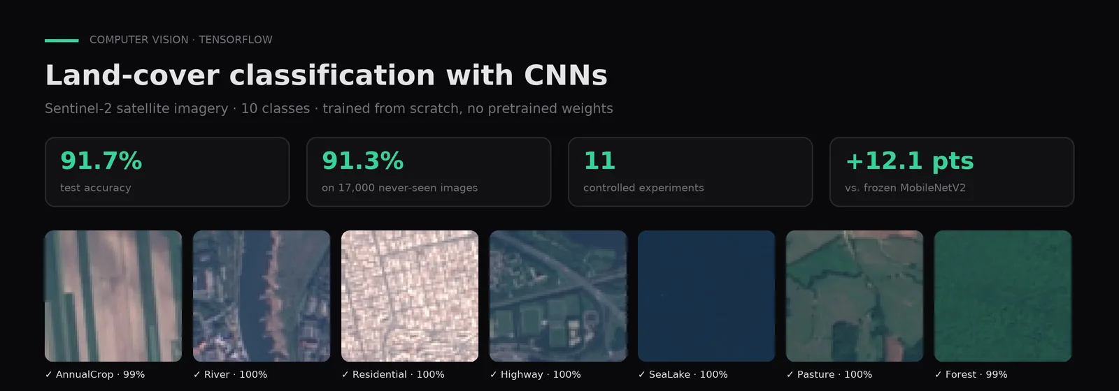
A CNN trained from scratch to classify Sentinel-2 satellite images into 10 land-cover classes, across 11 documented experiments.
Question
Can a CNN trained from scratch classify 64×64 Sentinel-2 tiles into 10 land-cover classes?
Problem
Automatically classify land use (crops, forest, rivers, urban areas, etc.) from 64×64 RGB satellite images.
Method
Four experimental blocks changing one variable at a time (sample size, dropout, BatchNorm, depth, data augmentation), with EarlyStopping, confusion matrix and error analysis. Benchmarked against a frozen ImageNet MobileNetV2.
Result
From 70.7% (baseline CNN) to 91.7% test accuracy, and 91.3% on 17,000 images the model never saw, beating a frozen pretrained MobileNetV2 (79.6%).
What I learned
More data beat every architecture change: +7.3 points from 500 to 1,000 images per class.
Stack
- Python
- TensorFlow
- Keras
- scikit-learn
- NumPy
- Matplotlib
Context
Course: Image Processing · 2026